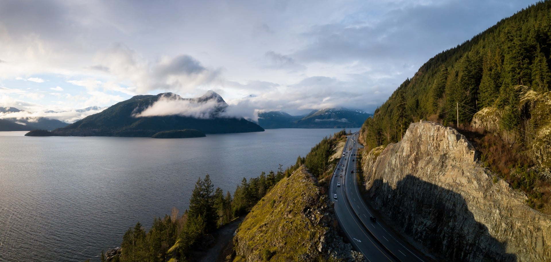
Most people follow I-5 to Vancouver and see only flashes of what lies beyond the interstate. Leave it at the right point, though, and the day opens up into ferry crossings, farm roads, cliffside turns, and waterfront stops that make arriving feel almost secondary.
What you see depends almost entirely on where you leave I-5. The interstate is efficient. These three alternatives are what make the day interesting.
Chuckanut Drive (SR-11) is the easiest switch. The roughly 24-mile byway curves between Burlington and Bellingham along the Chuckanut Mountains above Samish Bay, trading highway lanes for tight turns, forested cliffs, and sudden openings toward the water. Taylor Shellfish Farms’ Samish Oyster Bar sits just south of Bellingham with first-come seating, fresh shellfish, and limited parking. It is the kind of lunch break that quietly becomes part of the itinerary.
The Whidbey Island Loop takes several extra hours, but it earns them. The loop begins with the Mukilteo-Clinton ferry across Possession Sound, followed by island towns, farmland, and forest along SR-525 and SR-20. Deception Pass Bridge is the high point before the road bends back toward Mount Vernon and I-5. Summer ferry queues and crowded viewpoints can add more time.
The Skagit Valley route is looser and easier to shape around the day. Exit near Mount Vernon or Burlington and follow the farm roads through La Conner, Bow, and Edison, where fields sit low and wide beneath the North Cascades. The Tulip Festival fills parts of the valley with color each April and heavier traffic to match. By summer, the same roads lead past berry stands, farm shops, and small food stops.
Three places can easily become more than a quick break.
Whatcom Falls Park sits just off I-5 in Bellingham, tucked into a mossy gorge most people never know is there. A 1939 stone bridge crosses near the main falls, and even a short walk through the trees feels like a proper reset before getting back on the highway.
Boulevard Park and Taylor Dock connect Fairhaven with the Bellingham waterfront through overwater stretches of the South Bay Trail. Coffee by the bay, room to stretch, and a clear view across the water make this the most practical mid-drive break.
Deception Pass Bridge is worth leaving the car for. Walk partway across and the channel drops away beneath you, with fast-moving water, forested cliffs, and open views in both directions. Nearby beaches and headland trails add more when the schedule allows, but the bridge alone makes the detour worthwhile.
Clearing customs does not mean the interesting part is over. The last stretch into Vancouver still has room for gardens, shoreline walks, and one fishing village that can easily steal the rest of the afternoon.
Peace Arch Historical State Park sits directly on the U.S.-Canada boundary, with formal gardens surrounding the 67-foot monument on both sides of the border. Parking takes a little planning, but the pause feels less like border logistics and more like part of the experience.
White Rock is the simplest place to pause after entering Canada without making a big production of it. Its 470-meter pier reaches deep into Boundary Bay, while the promenade runs beside the shoreline for more than two kilometers. When visibility cooperates, Mount Baker may appear across the bay and turn a short coffee break into the kind of view people keep checking over their shoulder.
Steveston Village asks for more time, but it has a habit of keeping it. Fishing boats still work the harbor, seafood is sold from the wharf, and Garry Point Park opens onto wide estuary views and long, flat paths. It feels less like a stop before Vancouver and more like the place where the drive quietly decides to end.
The Seattle to Vancouver corridor is manageable on I-5 alone. But the stretch north of Burlington holds some of the most distinctive landscape in the Pacific Northwest, and much of it sits only a few miles from the freeway. The places visitors remember are rarely the ones closest to the highway. They are the ones that give the day a reason to slow down.